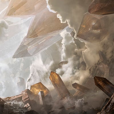

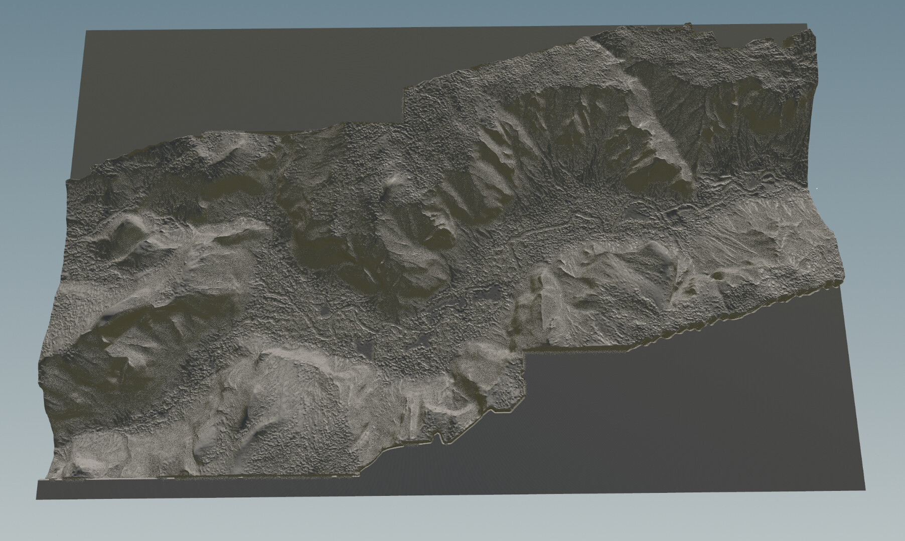
Data acquisition from satellite images and processed to remove vegetation elevation.

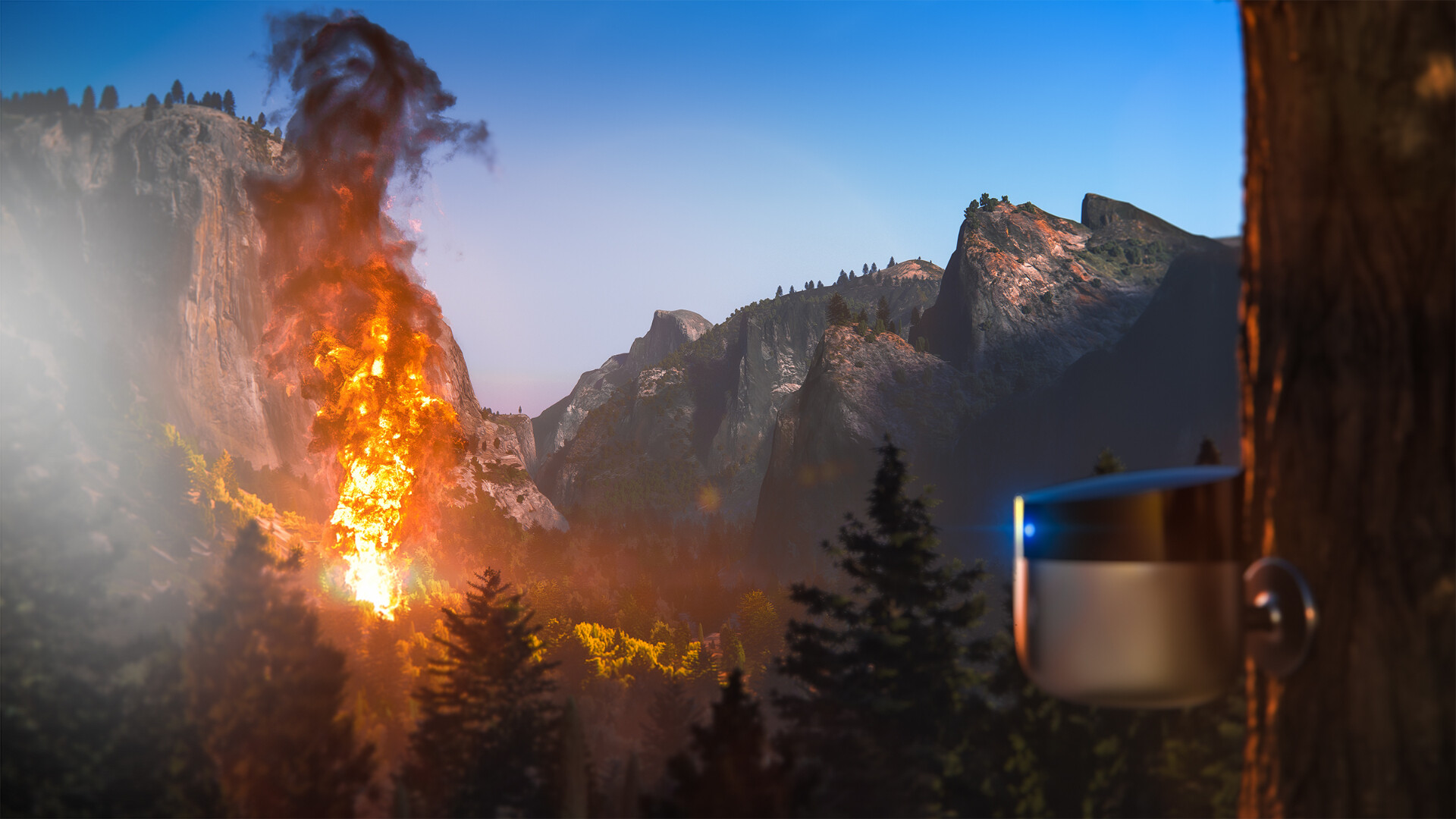
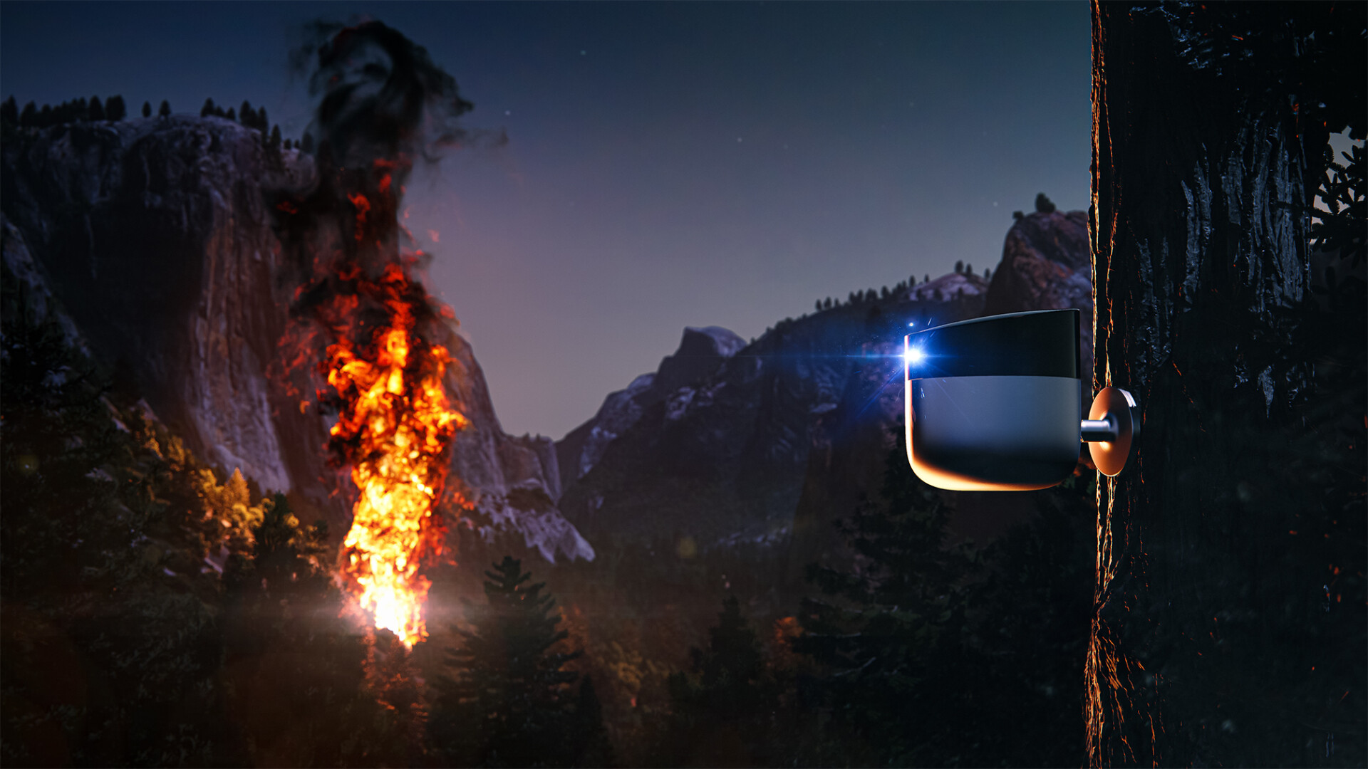
Shots from Isotropix Clarisse Composition
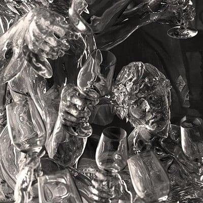
Shots from Isotropix Clarisse Composition

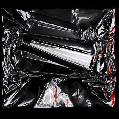
Shots from Isotropix Clarisse Composition
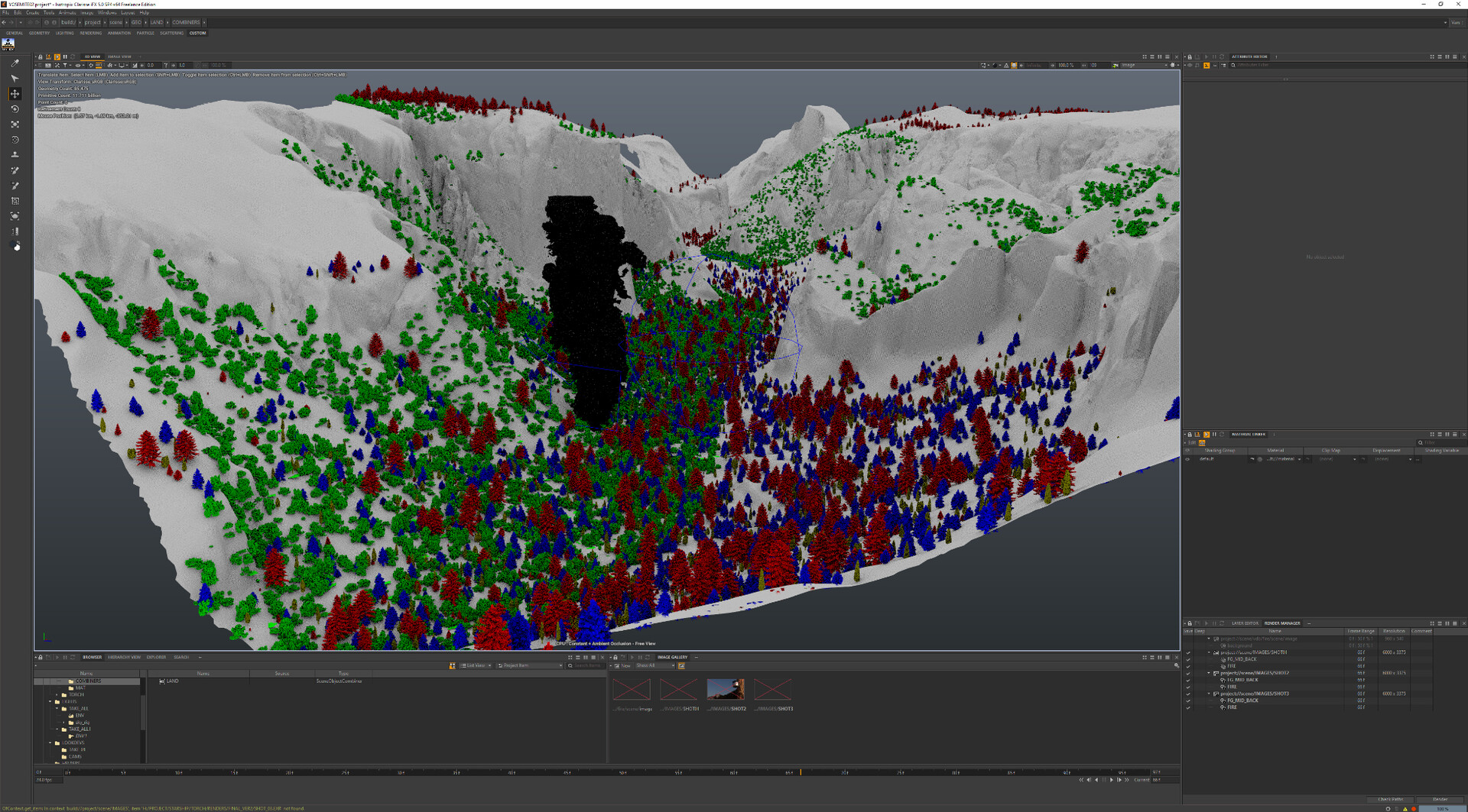
Shots from Isotropix Clarisse Composition
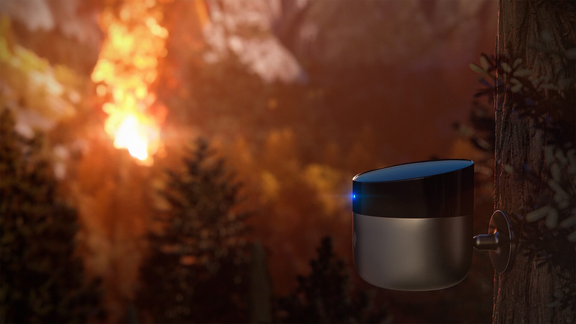
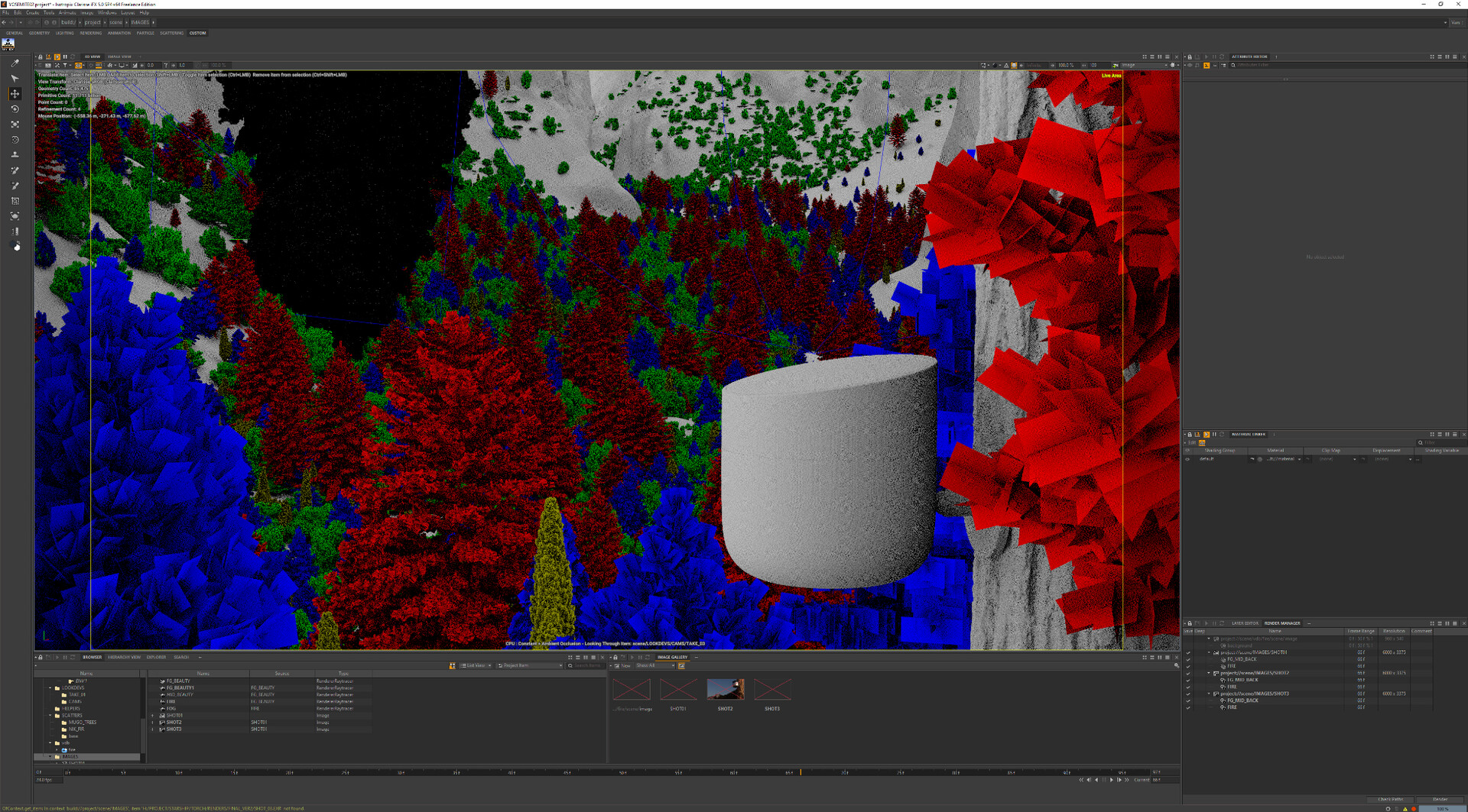
Some time ago I had the privilege of contributing to an exceptional project for Torch Sensors. Houdini was used for translating and refining Yosemite Satellite data, ensuring proper masking setup and UV. Additional hand polishing was performed in zBrush. All trees were sourced from https://www.cgtrader.com/ while the realistic flames were created in Embergen and exported as vdb. The final assembly, look dev, and renders were accomplished using the powerful technology of Isotropix Clarisse.
I would like to extend my gratitude to the Isotropix team for providing such an exceptional journey.
If you are interested in learning more about Torch Sensors and their innovative technology that signals when fire is nearby, please visit their website at https://www.torchsensors.com/.